Emerging Cities
Mapping India’s Urbanisation: Is India more urban than we think?
Research aimed at exploring the true extent of urban growth in India and its economic impact.
Context
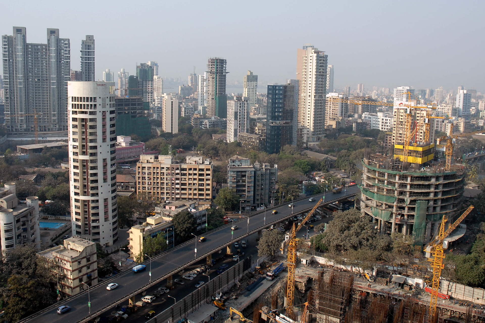
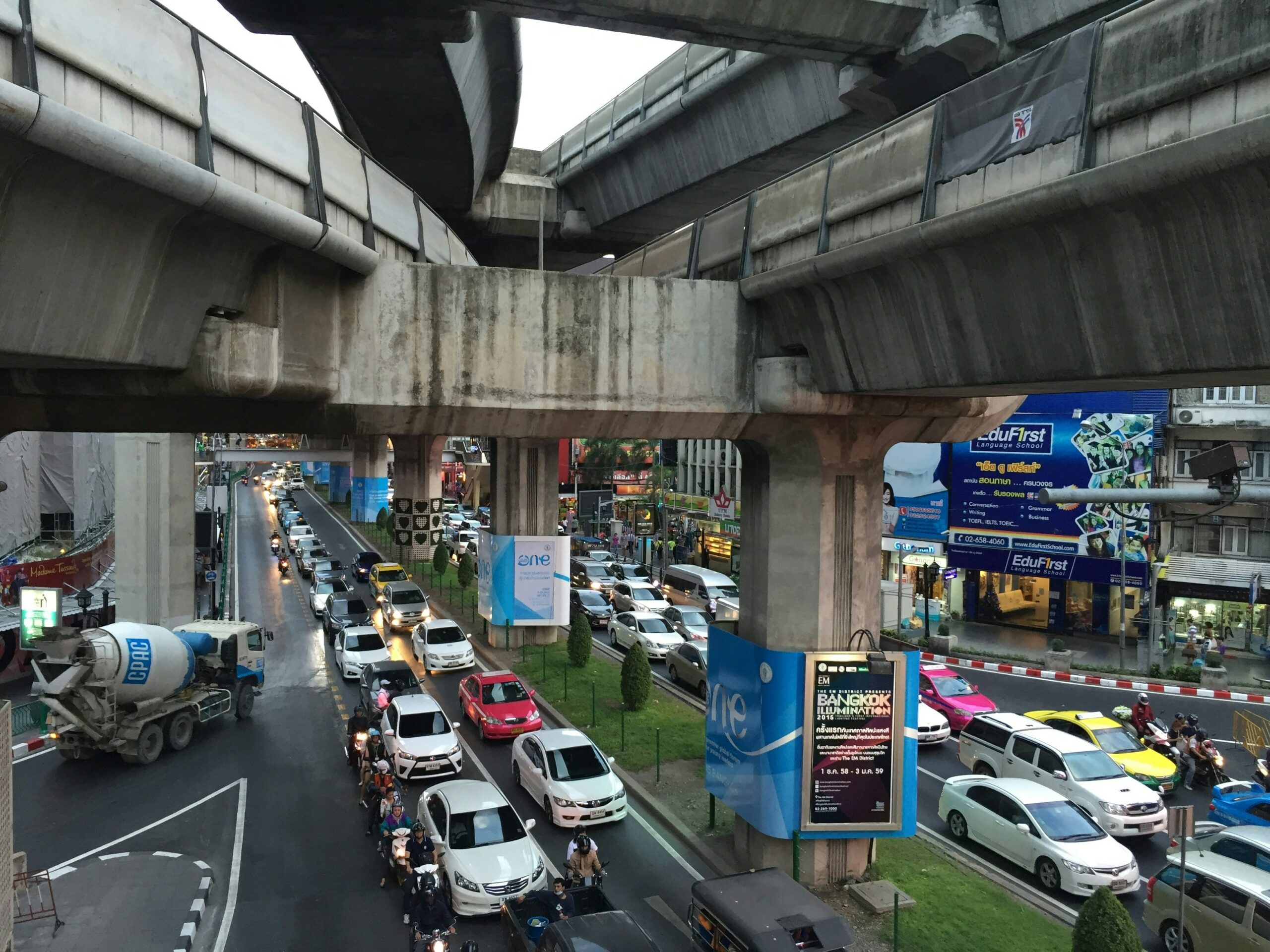
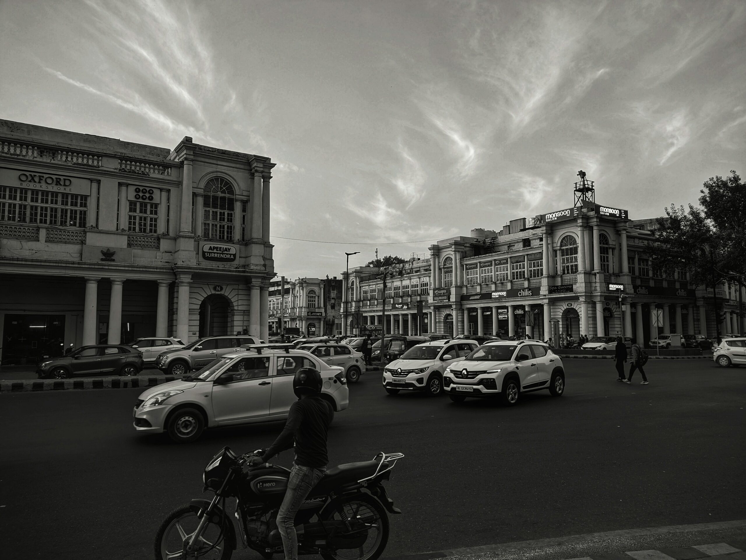
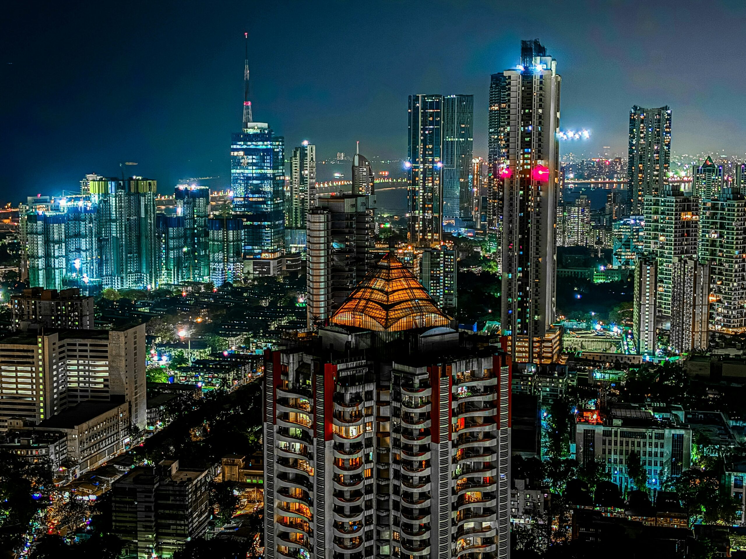
India’s cities are the backbone of its economy—contributing nearly 70% of the national GDP and providing millions of jobs across sectors. Yet, official figures from the 2011 Census indicate that only about 31% of India’s population is classified as urban. This discrepancy raises an important question: Are we underestimating the true extent of urbanisation in India?
This project sought to explore that question by critically examining how ‘urban’ is defined and measured in India. The way we categorise urban areas has significant implications: it shapes how public resources are allocated, how infrastructure is planned, and how policies are crafted. If urbanisation is undercounted, we risk overlooking critical challenges and opportunities in rapidly growing settlements.
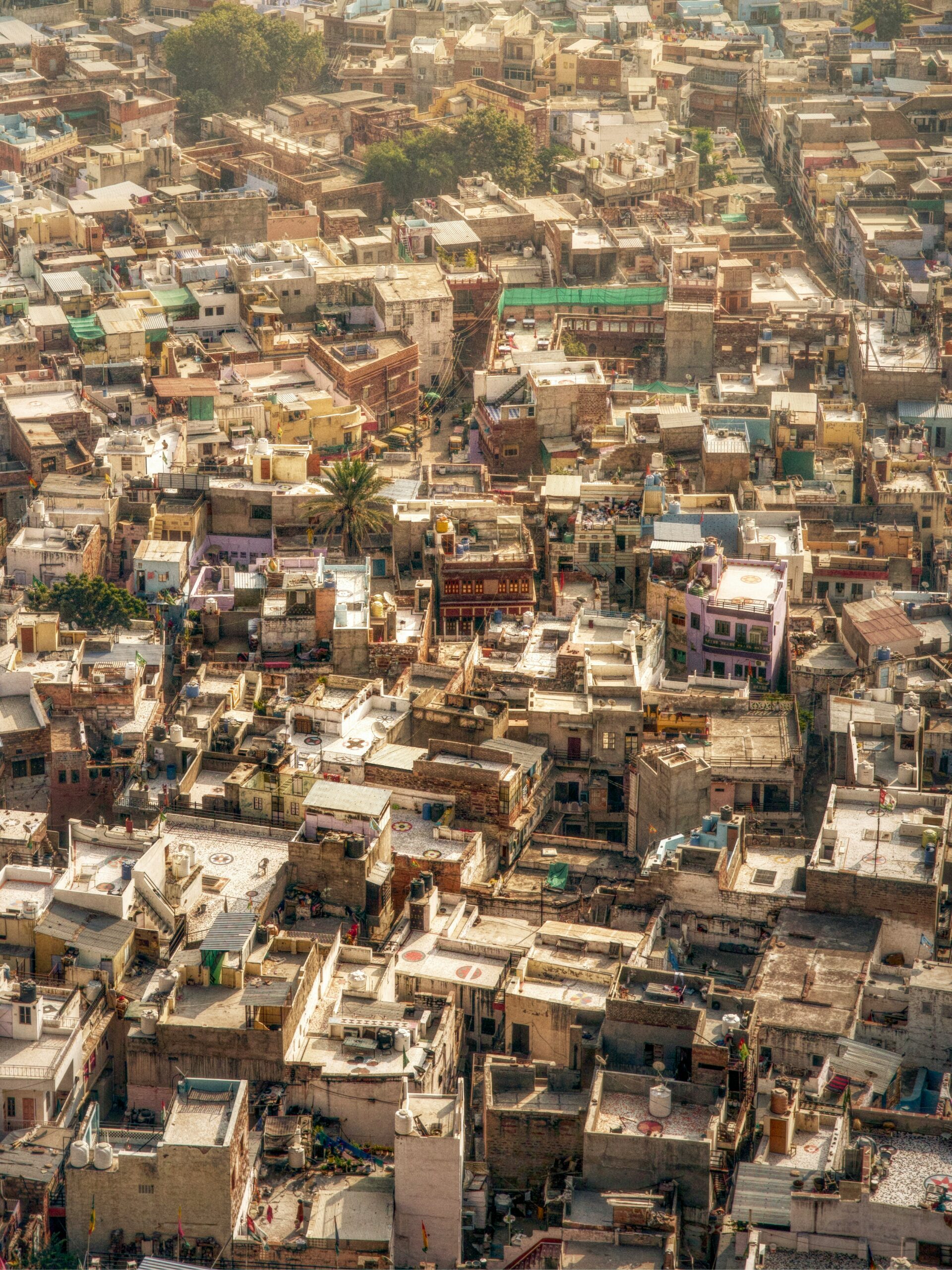
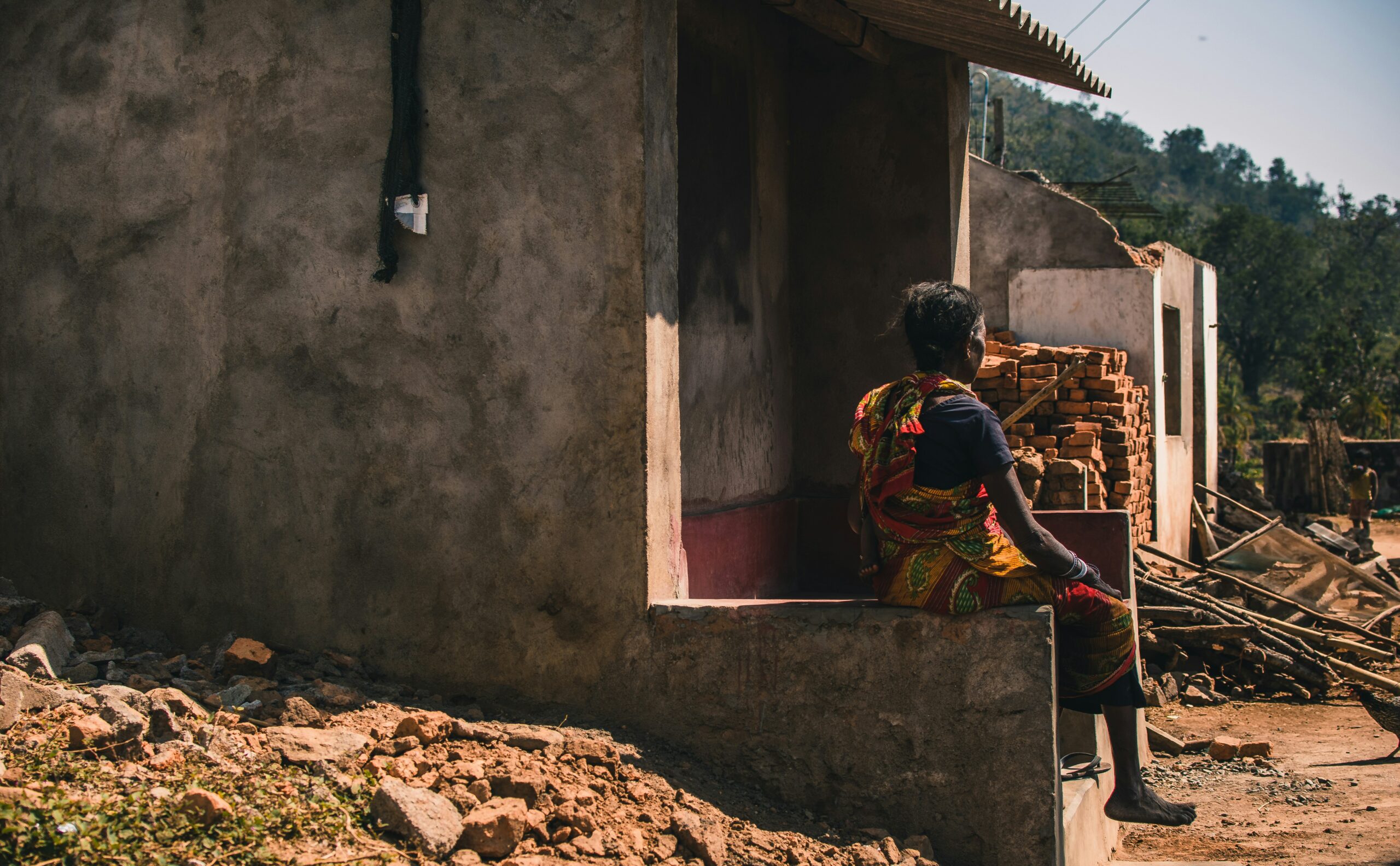
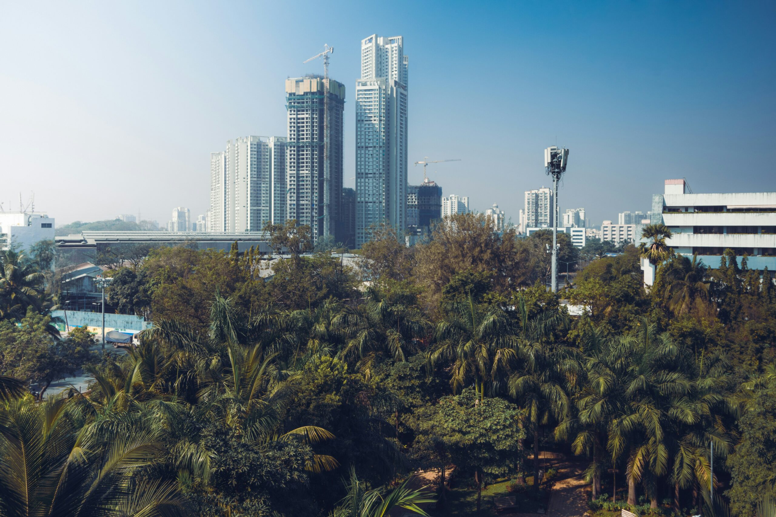
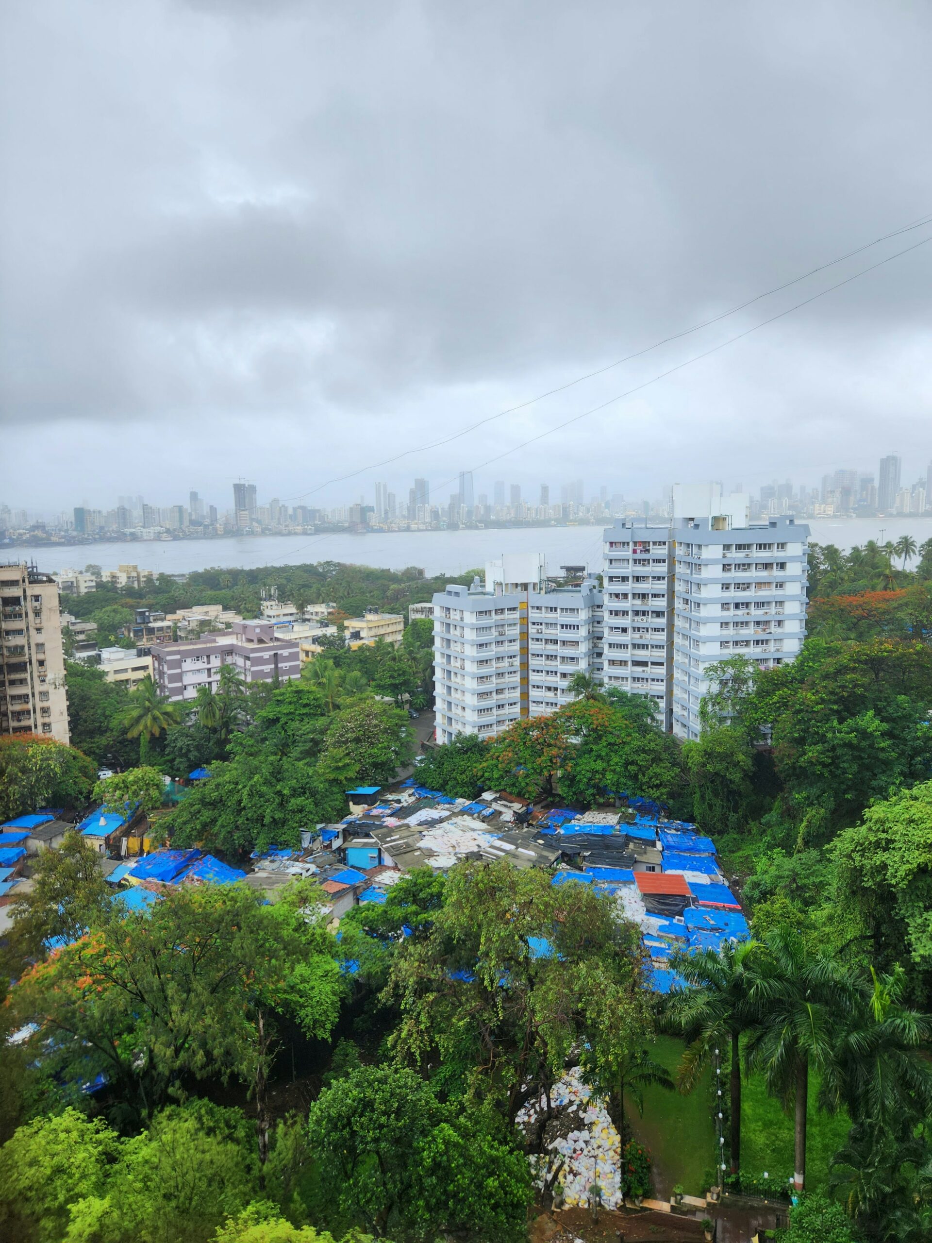
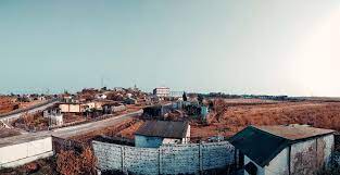
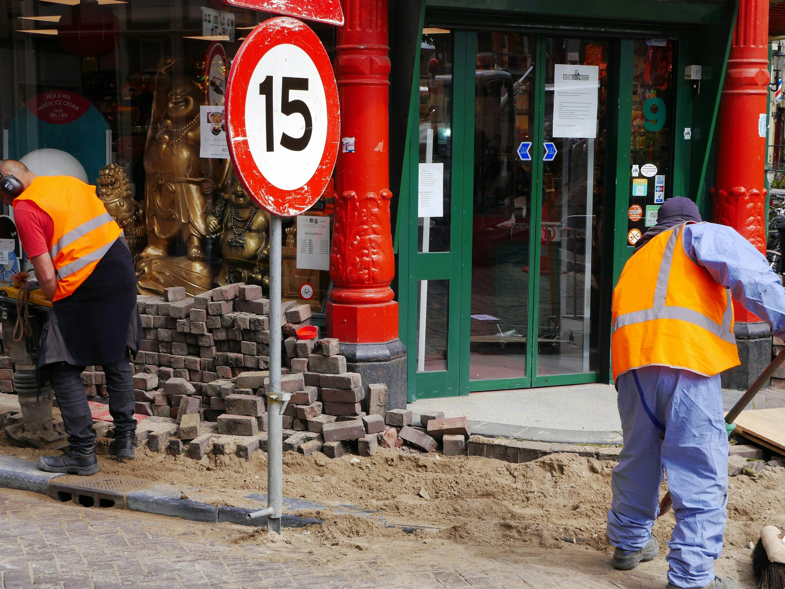
Many urban areas in India expand informally and without the benefit of robust planning or governance, limiting their ability to deliver economic and environmental benefits. Recognising these gaps, this study explored alternative definitions and methodologies to better capture the scale and nature of India’s urban transition.
Accurately mapping urbanisation is more than a technical exercise—it is essential for building the case for policy reform, increased investment, and deeper devolution of powers to city governments. By making the invisible visible, this project aimed to support a more inclusive, data-driven approach to urban policy and planning in India.
Methodology
To examine the central question—“Is India more urban than we think?”—we adopted a multidimensional methodology integrating demographic, spatial, and economic lenses to offer a comprehensive view of urbanisation in India.
First, we assessed urbanisation through alternative population-based definitions, comparing official urbanisation rates under the Census and administrative classifications—which are often discretionary—with more objective definitions using population thresholds of 2,500 and 5,000. This revealed that India could be considered 65% urban under the 2,500 threshold, and 47% urban under the 5,000 threshold, far higher than the official figure of 31%. We also explored the correlation between urbanisation (under various definitions) and state-level indicators such as poverty rates, per capita Net State Domestic Product (NSDP), and workforce composition, especially in agriculture.


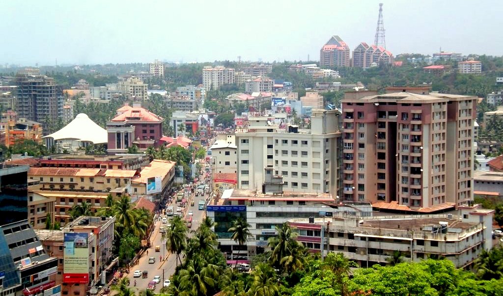
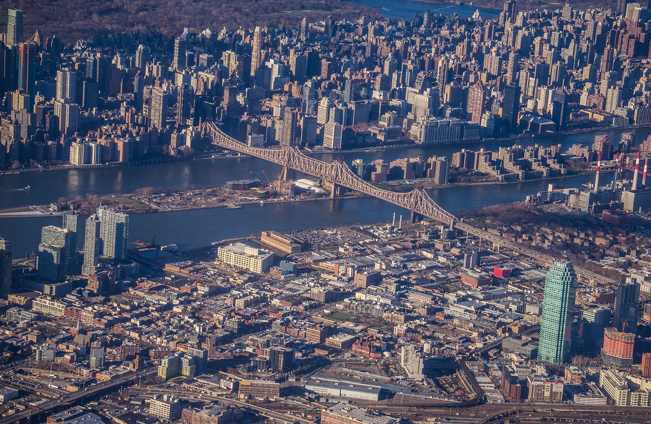
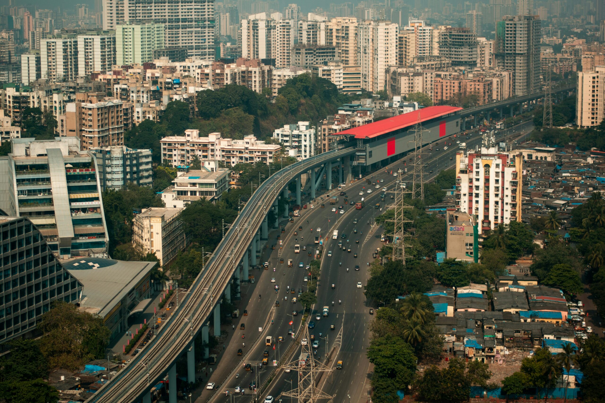
Second, we conducted satellite imagery analysis to map actual built-up area expansion over time. This helped us detect patterns of informal and unplanned growth beyond administrative boundaries, using case studies like Kozhikode to highlight the disconnect between on-ground realities and official definitions. This spatial mismatch impacts service delivery and urban governance, underlining the need for more adaptive planning frameworks.


Third, we developed a web-based spatial GDP tool to analyse the economic geography of India’s urban areas. Using 2006 data (with plans to update), this tool enabled us to visualise GDP and population distribution* at a 1 sq. km grid, offering granular insights into urban economic activity often hidden in conventional data.
*Source for GDP data: (Ghosh, T., Powell, R., Elvidge, C. D., Baugh, K. E., Sutton, P. C., & Anderson, S. (2010). Shedding light on the global distribution of economic activity. The Open Geography Journal (3), 148-161.)

Outcomes
Our research revealed that India is significantly more urbanised than official estimates suggest. By comparing the administrative and census definitions with objective, population-based thresholds, we found that India could be 47% urban using a 5,000 population cut-off and up to 65% urban using a 2,500 threshold—far higher than the official 31% from the 2011 Census. These alternative definitions also showed stronger correlations with key state-level indicators like poverty rates, per capita income, and the share of agricultural employment, highlighting their potential to inform more accurate and equitable policymaking. For example, we argued that eligibility criteria for programmes such as MGNREGA should be reconsidered using such refined definitions.
To support this work, we launched one of India’s first geospatial labs—the Urban Expansion Observatory (UXO)—in collaboration with New York University. UXO produced urban maps for 200 global cities, contributing to UN Habitat III discussions and challenging the myth of rural dominance in India’s development narrative.
We successfully created a 3-D map that visualises the spatial distribution of economic activities across India, aiding in better understanding and harnessing the nation’s growth potential.
The findings from the 2014-15 Maharashtra Economic Survey reinforce the significant contributions of major cities—Mumbai, Thane, and Pune—to the State Income and GSDP, underscoring their roles as key drivers of economic growth. Our findings have been widely disseminated: through academic publications, policy training sessions at institutions like LBSNAA and IMF, and public platforms including the Brookings Institution and the podcast The Seen and the Unseen.